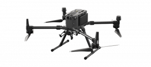
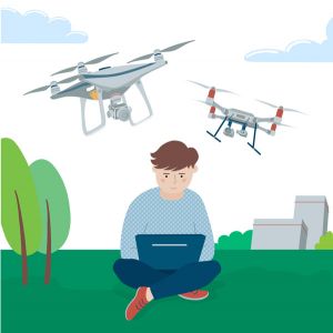
Professional Drones
State-of-the-art equipment that guarantees stability and safety, even in complex orography or large extensions.

R+D+I
Continuously researching, developing and innovating, following new technologies even before they reach the market.
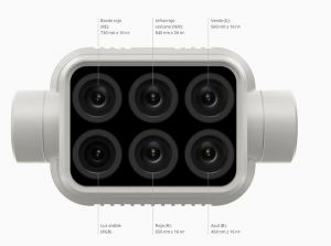
Multispectral Cameras
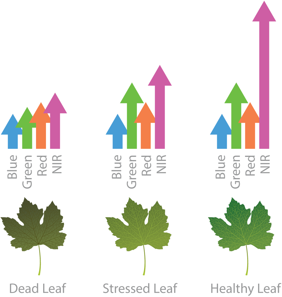
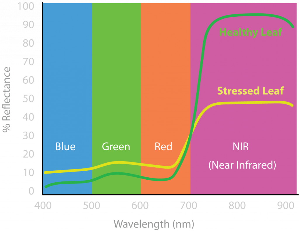
Our advanced "eyes". They capture invisible light ranges to detect water stress or lack of nutrients before visible symptoms appear.
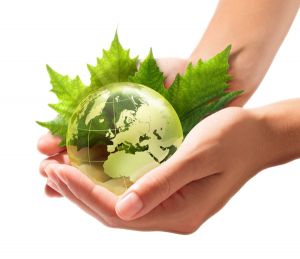
Sustainable Agriculture
Our services not only do not pollute or impact the environment, but also help reduce the environmental footprint of your vineyards.
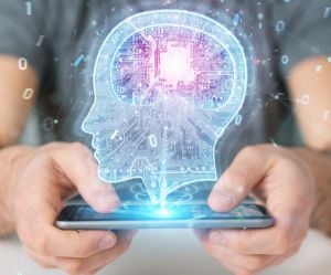
Artificial Intelligence
We don't just process images; we train computer vision models. Our algorithms are designed for complex pattern recognition and massive data processing, transforming gigabytes of information into high-precision digital layers.
Human Resources
All these technologies would be useless without a professional and expert team of people who know how to adapt them to the needs of each client.